FAQs
Need
Why is this development needed?
The redevelopment of the former MG Rover Car Factory site has been a long-term ambition for Birmingham City Council and the local community for many years. As a strategic location in south Birmingham, the site has already seen high-quality businesses such as Waters Corporation occupy their units, and Metalor Technologies and Allsee Technologies both secure planning consent for future units, bringing jobs and investment to the area and meeting local business demand for commercial facilities.
Addressing Impact on Local Area
How will the new buildings be screened from view?
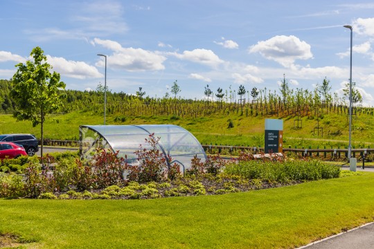
Careful attention will be given to landscape screening, ensuring the new buildings respect the surrounding characteristics of the local area and take the new homes being built on site into account.
What materials and colours will be used for the new buildings?
Metal cladding in graduating shades of grey (fading to a light grey at the top) will be utilised to reduce perceived heights and ensure the scheme blends in with the surrounding landscape.
Contemporary details and full-height glazing will also be used, adding visual interest and breaking up building massing. Prominent areas of building envelopes will be addressed with enhanced architectural treatments.
How will noise be mitigated?
A range of mitigation measures will be used to ensure noise from operational areas is minimized as far as possible for local residents.
How tall will the new buildings be?
A range of units are proposed with different heights. The tallest buildings, from 12.65m to 15.5m in height, will be located where the existing landscape and surrounding buildings provide the most synergy on Plots 1 and 4. Smaller 11m tall units will be located across Plots 2 and 3. The proposed heights are similar to the other commercial units approved on other plots across the wider site.
How will the impacts of construction be managed?
Indurent aims to bring a positive difference to the local community; as such, it will be vitally important to ensure the effects of construction are mitigated as far as possible.
A detailed construction management plan would be submitted with the planning application, setting out measures to control construction vehicle arrivals, noise, and dust, among other considerations.
Sustainability
How energy efficient will the new buildings be?
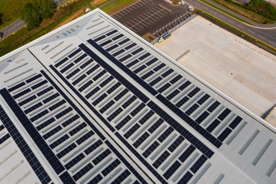
Sustainability is at the heart of all Indurent developments and is underpinned by our Indurent Standard guidelines; this means reducing carbon emissions and maximising energy efficiency will be a focus right from the start, from construction through to operation.
New buildings will be thermally efficient and employ intelligent lighting systems to harness natural daylight, minimise artificial lighting requirements and reduce energy consumption.
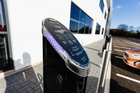
Electric Vehicle charging will also be provided on site to help staff and visitors transition towards low carbon travel.
Biodiversity
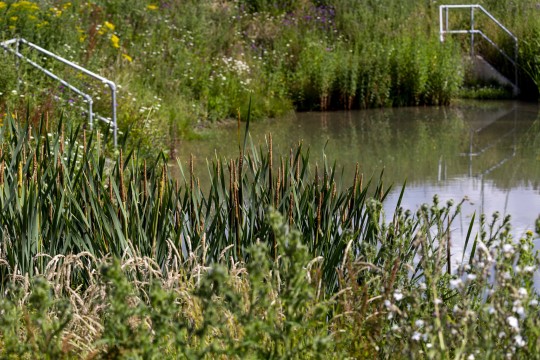
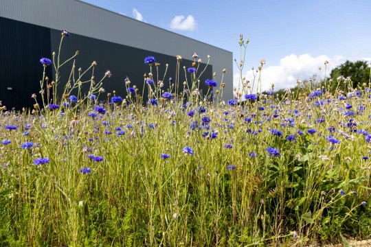
How will biodiversity be enhanced?
New habitat will be created as part of the proposed landscaping scheme that will enhance the local biodiversity.
Will any trees be removed?
Existing trees and vegetation will be retained and protected wherever feasible. Any trees removed will be offset through tree planting on site.
How will this development benefit the local area?
The development will provide a range of socio-economic benefits for the local area, including around 280 jobs during the construction phase and 590 new jobs from operation.
Contrary to popular belief, due to increased automation and the use of robotics, the industrial and logistics sector supports a range of highly skilled jobs in the engineering and technological professions.
There will also be a range of training opportunities for local people, from work experience placements to traineeships during the construction phase that will be agreed through an Employment and Skills Plan. In total, the development is expected to deliver £40 million in Gross Value Added to the local area.
Drainage
How will the drainage be managed?
The surface water run-off generated from the proposed development will be managed by the use of various SuDS elements in a treatment train to ensure there is sufficient pre-treatment prior to discharge downstream to the River Rea. The SuDS utilised will include the use of below ground attenuation tanks, gravel filter strips, permeable paved carpark areas, rainwater harvesting and attenuation basins with a level of permanent water to enhance biodiversity. The discharge from the development will be restricted to the agreed rate as mentioned in the Flood Risk Assessment to ensure that the development will be designed to effectively manage surface water on-site, whilst ensuring that water quality standards are maintained and no increase in flood risk off-site.
Transport and Access
How will the development be accessed?
The development would be accessed via the existing access road, West Works Way, from the A38. This will provide safe and efficient access, and provide good connections to the local road network within the West Midlands. Further afield the motorway network can easily be reached at M5 Junction 4.
How will sustainable travel be encouraged?
The development is located in close proximity to a number of sustainable travel opportunities, including:
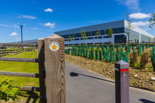
- Footways with a level segregated cycle route have already been delivered alongside West Works Way, as part of previous phases of development;
- The Rea Valley Cycle Route which runs through the site has been enhanced to provide an off-road shared footway/cycleway and associated landscaping has been delivered as part of previous phases of development;
- There are a number of existing bus stops on the A38, in close proximity, which facilitate travel to destinations including Frankley, Bromsgrove, Birmingham, and Droitwich amongst others; and,
- Longbridge rail station is a located approximately 400m from the site which provides regular services between Lichfield, Redditch, and Birmingham whereby onward connections can be made.
In addition to the existing infrastructure, as part of the development, secure and accessible cycle shelters will be provided.
A Travel Plan will also be prepared to identify measures, a monitoring strategy and actions, to further encourage sustainable travel where possible.
What will happen to public rights of way which cross the site?
The Rea Valley Cycle Route and right of way has already been protected and enhanced during previous phases of development. There will be no change to this.
What will the impact of the development be on local traffic flows?
The development falls within the wider area identified for redevelopment of the former MG Rover Car Factory within the Longbridge Area Action Plan (AAP). As part of the AAP, the long term transport and highway infrastructure requirements for all development within the Longbridge AAP area were identified. The key infrastructure measures have been delivered in advance of the development, in close discussion with BCC.
As part of the planning application, a detailed Transport Assessment will be prepared to assess the impact of the development on the local highway network and sustainable travel infrastructure in line with current policy.