Drainage and utilities
Drainage
Flood maps produced by the Environment Agency show that there are no areas at risk of flooding within the site boundary. Notwithstanding this a comprehensive Sustainable Urban Drainage system (SuDS) is proposed to manage surface water drainage and flood risk on the site.
The SuDs will include drainage attenuation ponds located across the site to ensure that surface water is collected, stored and discharged from the site in a controlled manner. Several of these ponds will be located on the north and east boundaries of the site, close to the Grantham Canal, helping to control the discharge of surface water.
A flood risk assessment has been provided as part of the outline planning application and includes full details on the proposed SuDS strategy.
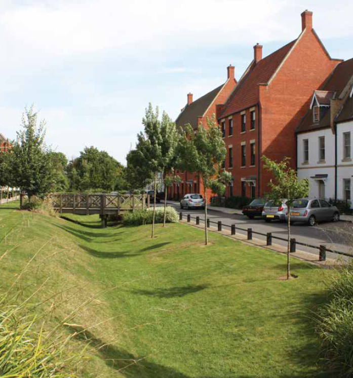
Image of SUDs drainage feature
Utilities
A utilities report has been prepared as part of the outline planning application that sets out in detail the proposed strategy for water, foul drainage, energy and telecommunications infrastructure to serve the site. There could be potential benefits to existing residents and businesses from improving the existing utilities network in the area.